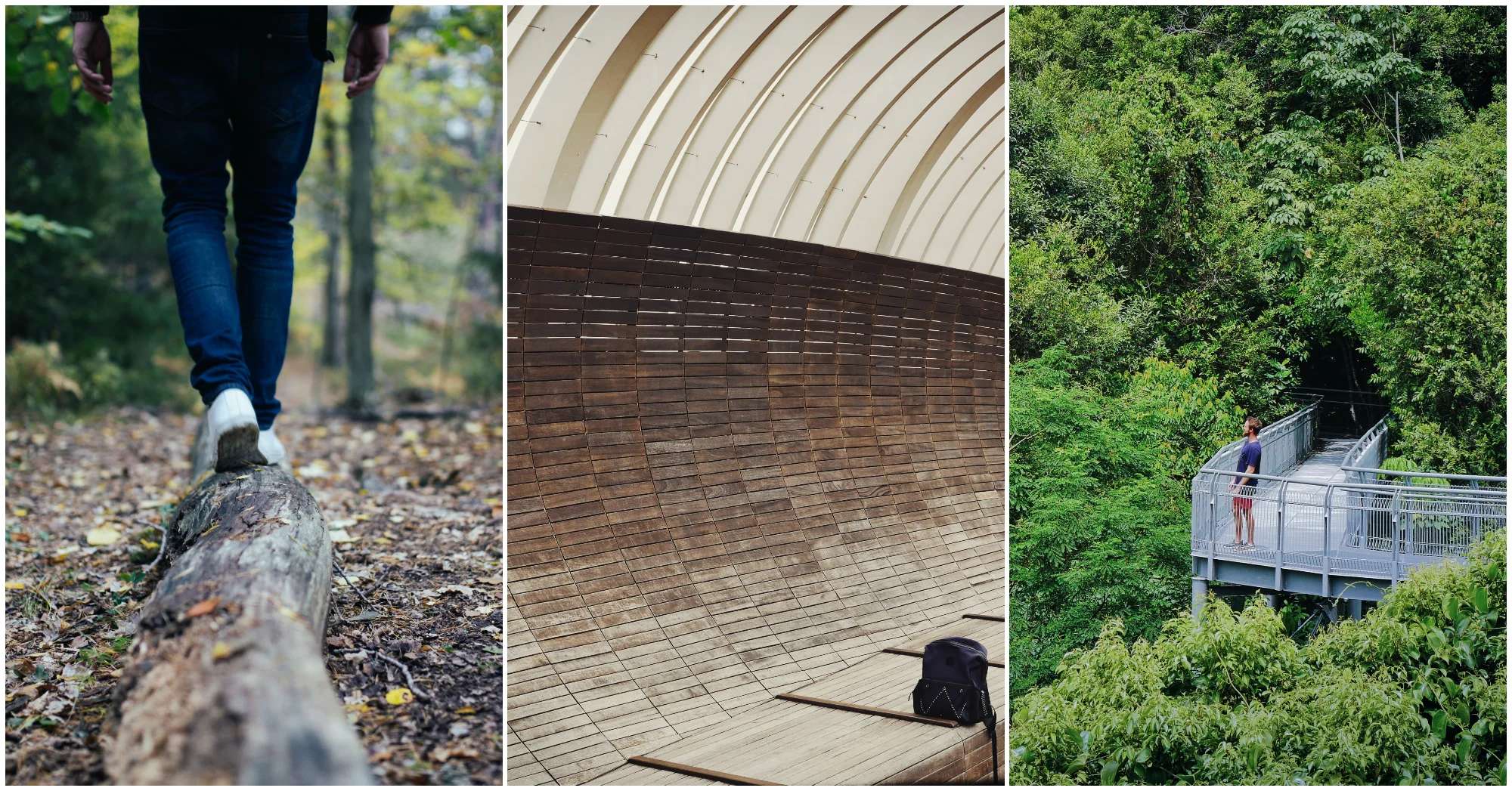
If you enjoy hiking in Singapore, the words 'Marang Trail' would not be unfamiliar to you. The Marang trail is a hiking trail that acts as an entrance to two different, equally popular trails along Southern Ridges, both about 10km long. And if you feel like taking only a short walk, you could walk the Marang trail itself and head back in no time! If you'd like to find out one way to hike in Singapore, HHWT has a handy guide for you to explore Marang Trail and beyond! It's even next to a halal food eatery ? Read on to find out more!
How To Explore Marang Trail
1. What Is The Marang Trail?
Marang Trail is a hiking trail of moderate to challenging difficulty, and spans only 0.35 km. The best part? If you're looking for a nice, quick hike instead of a long hike, Marang Trail only takes about 15 minutes!

You might want to take your time if you're a nature lover, though. It's home to a vast range of flora and fauna, such as Rubber Trees, Angsana Trees, and Saga Trees. And if you're lucky, you may even catch sight of interesting birds such as the Greater Racket-tailed Drongo amid the lush greenery. This is definitely a place for bird watchers and nature lovers to consider exploring?

You may want to be cautious exploring this trail. Marang Trail covers an elevation that is as high as a 24-storey buiding (70m), so this trail may not be appropriate for young children or elderly. For the adventurous and fit, however, this is definitely a trail you'll want to try out?
2. Where Can I Start?
Marang Trail sits on the entrance of Marang Road, next to HarbourFront MRT and Vivo City. If you're a fan of Seah Im Food Centre's food, you're one step closer to being on Marang Trail!
If you're driving to the trail, you could park at Seah Im's carpark before heading off. Alternatively, you could take an MRT or bus to get to HarbourFront MRT before making your way to the trail. Over 10 buses stop near the trail, and there are 2 different MRT lines you can take to get there, so it's definitely an accessible hiking trail.
P.S. Seah Im Food Centre has plenty of halal food for you to enjoy once you're done with your hike!

Seah Im Food Centre
Halal Status: Some Halal and Muslim-Owned Food Stalls
Address: 2 Seah Im Road
3. What other trails are there?
Marang Trail is the entrance to the famous Southern Ridges Walk, one of the longest walking routes in Singapore. It comprises of Mount Faber Park, Telok Blangah Hill Park, Henderson Waves, HortPark and Kent Ridge Park! It also includes the Berlayer Creek Boardwalk and Labrador Nature Reserve. The Southern Ridges Walk is great for a panoramic view of Singapore that will still get your heart rate pumping ?

There are two routes for you to take if you'd like to take a hike through Southern Ridges' Walk, and they both start from the Marang Trail! You could take Route A, which consists of Mount Faber Park, Telok Blangah Hill Park, Hort Park and Kent Ridge Park. The route takes about 3-5 hours to hike, but is definitely worth it! Route A is home to the iconic Henderson Waves, an Instagram spot not unknown to the active and those looking for scenic Instagram pictures!

You may also wish to go down Route B, which consists of From Mount Faber Park, Telok Blangah Hill Park and Labrador Nature Reserve. This route also takes about 3-5 hours to hike, but ends at Labrador Nature Reserve. You also get to explore the last of the remaining mangroves in the south of our island on this route!
Blood and adrenaline pumping already? Mine definitely is, and with restrictions lifting, you don't have to hike alone! Share this with a few vaccinated friends and head down to this exciting trail for adventures you'll never forget ?


